We use cookies to ensure our site functions properly and to store limited information about your usage. You may give or withdraw consent at any time. To find out more, read our privacy policy and cookie policy.
Manage Cookies
A cookie is information stored on your computer by a website you visit. Cookies often store your settings for a website, such as your preferred language or location. This allows the site to present you with information customized to fit your needs. As per the GDPR law, companies need to get your explicit approval to collect your data. Some of these cookies are ‘strictly necessary’ to provide the basic functions of the website and can not be turned off, while others if present, have the option of being turned off. Learn more about our Privacy and Cookie policies. These can be managed also from our cookie policy page.
Strictly necessary cookies(always on):
Necessary for enabling core functionality. The website cannot function properly without these cookies. This cannot be turned off. e.g. Sign in, Language
Analytics cookies:
Analytical cookies help us to analyse user behaviour, mainly to see if the users are able to find and act on things that they are looking for. They allow us to recognise and count the number of visitors and to see how visitors move around our website when they are using it. Tools used: Google Analytics
Share Combined Sewer Overflow Reporting on FacebookShare Combined Sewer Overflow Reporting on X (formerly Twitter)Share Combined Sewer Overflow Reporting on LinkedinEmail Combined Sewer Overflow Reporting link
Understanding Your Sewers and CSOs
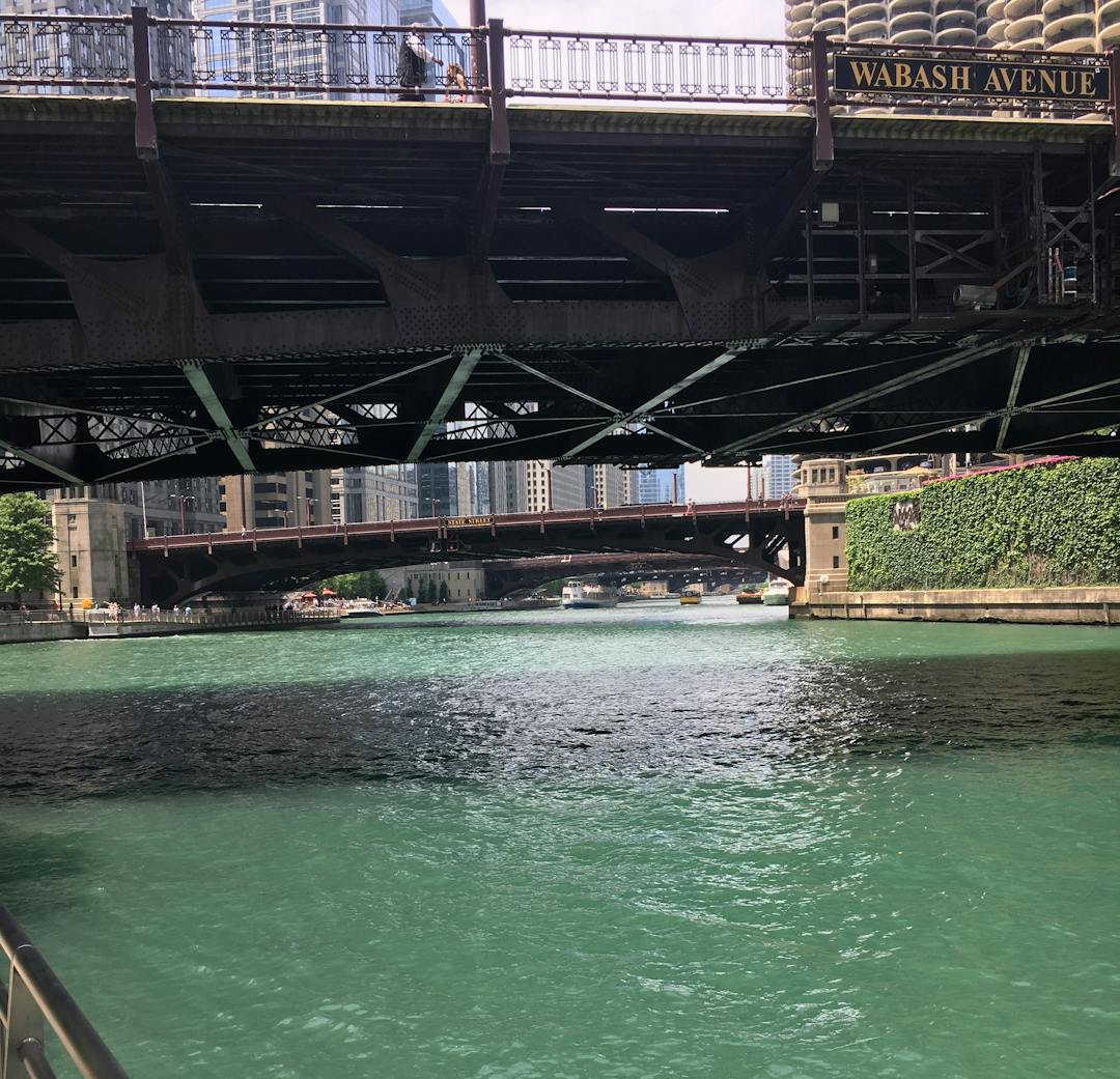
Like older cities around the world, most local sewers in the Chicago area were built more than 100 years ago. The sewers were designed to drain sanitary flow and a limited amount of stormwater directly to the river before wastewater treatment existed. Today most of these local sewers are required to carry much more water than when these systems were first put into service. Consequently, the sewers can exceed their flow capacity, cause backups or overflow into the waterways. If the MWRD’s intercepting sewers and water reclamation plants reach capacity during heavy rain, the local sewer continues to drain, or “overflow” to a waterway. That is what we define as a combined sewer overflow, or CSO. To learn more, visit our “Understanding Your Sewer" webpage.
Reducing CSOs
The MWRD’s Tunnel and Reservoir Plan (TARP) system works around the clock to collect water and mitigate CSOs from occurring. The tunnel system captures the “first flush,” a term used by the USEPA to describe the highest pollutant-loaded combined sewer flow. The reservoirs have gone a step further and collected more CSO volume. In fact, the Thornton Composite Reservoir has nearly eliminated CSOs from occurring. Because of this, the region has seen tremendous ecological recovery of the waterways during the implementation of TARP. To learn more about the success of Thornton, visit Water & Wastes Digest.
Mapping CSOs
The map below tracks CSO occurrences in reaches of the Chicago Area Waterway System (CAWS) leveraging Esri GIS software. A dot indicated on the map represents the locations of current CSO occurrences. CSO occurrences that have occurred on a prior date can be viewed by visiting CSO Synopsis Reports. Please ensure your popup blocker is disabled for this site to view the map.
The information presented in the following maps and applications is updated frequently and reflects CSO and diversion activity based on the best available data. Not all CSO outfalls are equipped with monitoring equipment. Therefore, other CSOs may have occurred that are not reflected on the below map.
Regardless of CSO activity, the CAWS like other bodies of water, contains wildlife and harmful bacteria. Swimming, canoeing, or other activities where immersion in water is possible should be avoided and is not recommended, particularly during and immediately following rainfall.
Understanding Your Sewers and CSOs
Like older cities around the world, most local sewers in the Chicago area were built more than 100 years ago. The sewers were designed to drain sanitary flow and a limited amount of stormwater directly to the river before wastewater treatment existed. Today most of these local sewers are required to carry much more water than when these systems were first put into service. Consequently, the sewers can exceed their flow capacity, cause backups or overflow into the waterways. If the MWRD’s intercepting sewers and water reclamation plants reach capacity during heavy rain, the local sewer continues to drain, or “overflow” to a waterway. That is what we define as a combined sewer overflow, or CSO. To learn more, visit our “Understanding Your Sewer" webpage.
Reducing CSOs
The MWRD’s Tunnel and Reservoir Plan (TARP) system works around the clock to collect water and mitigate CSOs from occurring. The tunnel system captures the “first flush,” a term used by the USEPA to describe the highest pollutant-loaded combined sewer flow. The reservoirs have gone a step further and collected more CSO volume. In fact, the Thornton Composite Reservoir has nearly eliminated CSOs from occurring. Because of this, the region has seen tremendous ecological recovery of the waterways during the implementation of TARP. To learn more about the success of Thornton, visit Water & Wastes Digest.
Mapping CSOs
The map below tracks CSO occurrences in reaches of the Chicago Area Waterway System (CAWS) leveraging Esri GIS software. A dot indicated on the map represents the locations of current CSO occurrences. CSO occurrences that have occurred on a prior date can be viewed by visiting CSO Synopsis Reports. Please ensure your popup blocker is disabled for this site to view the map.
The information presented in the following maps and applications is updated frequently and reflects CSO and diversion activity based on the best available data. Not all CSO outfalls are equipped with monitoring equipment. Therefore, other CSOs may have occurred that are not reflected on the below map.
Regardless of CSO activity, the CAWS like other bodies of water, contains wildlife and harmful bacteria. Swimming, canoeing, or other activities where immersion in water is possible should be avoided and is not recommended, particularly during and immediately following rainfall.


Thank you for your contribution!
Help us reach out to more people in the community
Share this with family and friends